TAIYUAN · 37.87°N 112.55°E PRIVATE BETA
Ride seriously.
Keep it yours.
VELO records real outdoor rides and compiles the road routes and fixed segments around Taiyuan one by one — distance, climb, surface, track, all from real rides.
ROUTE INDEX · TAIYUAN
Every route is ridden first, then written down.
The routes VELO is compiling right now. Each carries a real track; ride books open once verification is done.
Tianlongshan Mountain Road
The training climb Taiyuan roadies come back to.
Hengling
Taiyuan’s own mountain stage — 11 km of continuous climbing.
Langpo
The hardest ramp in town — from 15% gradient.
Aoshen
The steepest kilometre in the Western Hills.
Qichunge
The steep off Changfeng West Street; the neighbourhood climbing lesson.
Jueweishan
The quiet, hard branch off Hengling — 9.7% average.
Qingxu Night Ride
The most contested flat night-ride segment in Taiyuan.
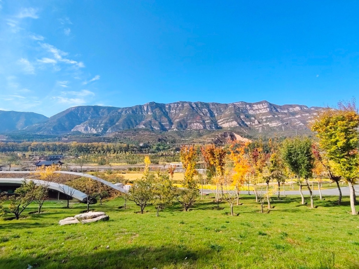
LOCAL ROUTE · TAIYUAN
Fen River Loop Bike Path
- DISTANCE
- about 75 km
- THROUGH
- 5 districts
- GPX
- track in progress
The most ridden greenway in Taiyuan, crossing all five districts. The ride book opens once the track is verified.
DATA SYNC
Data comes home,
with clear boundaries.
Garmin Connect sync is in the application and development stage. It is not yet available to VELO users. Before launch we will finish real authorization, history backfill, notifications, unbinding and deletion checks.
-
01
Official authorization only
VELO will never request your Garmin password.
-
02
Cycling activity scope
No health, sleep, or women’s health data in v1.
-
03
Private by default
You choose when to publish a ride summary.
-
04
Disconnect and delete
Disconnecting stops sync and removes OAuth tokens.
PRIVACY
A ride track is not something you publish casually.
VELO offers private-by-default activities, hidden power and hidden heart rate. Third-party synced data is never sold and never used to train external AI or large models.